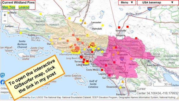
Red area = Red Flag Warning.
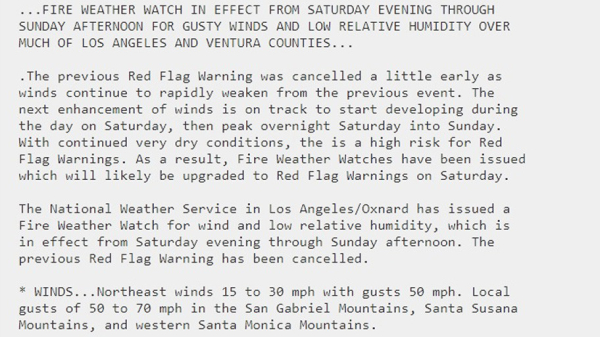
Light tan area = Fire Weather Watch. Includes #PalisadesFire
The ‘watch’ layer is ‘on top’ and can be clicked to see attribute data. Follow the link for details from NOAA.
To get the most benefit from the map see 2 links upper left corner.
Open GISsurfer map:
https://mappingsupport.com/p2/gissurfer.php?center=34.100296,-118.179932&zoom=8&basemap=USA_basemap&overlay=MODIS_7_day,VIIRS_7_day,Perimeter_FIRIS_intel,Red_flag_warning,Fire_Weather_Watch&data=https://mappingsupport.com/p2/special_maps/disaster/USA_wildland_fire.txt
GISsurfer General Purpose Web Map and GIS Viewer | Surf GIS DATA
GISsurfer lets you surf a nearly endless amount of GIS data. Click a layer in the GIS server's table of contents and that data appears on the map.mappingsupport.com


