Suche
Beiträge, die mit gait getaggt sind
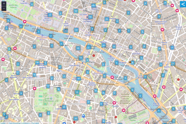
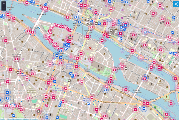
OpenStreetMap supports mapping surveillance cameras.
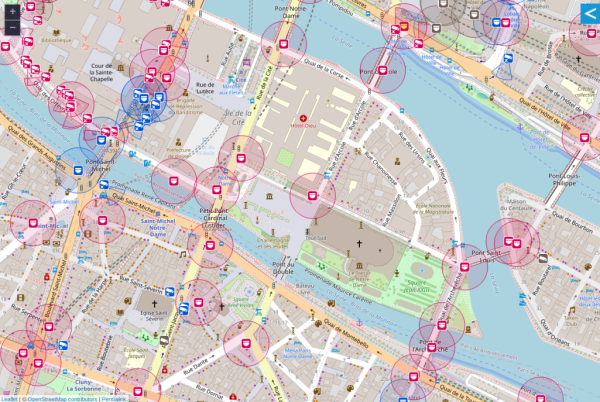
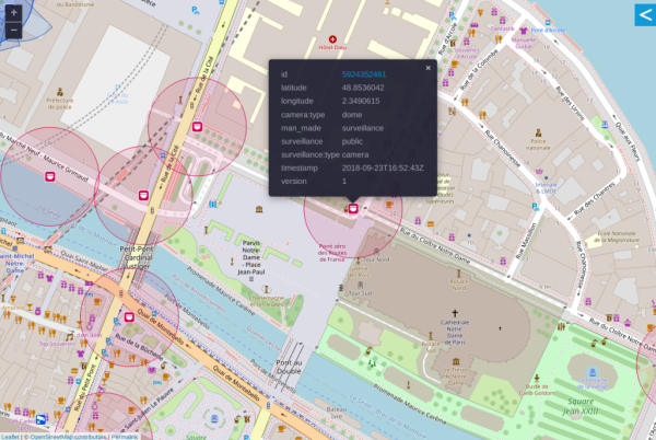
Cameras can be identified by location and type.
The area being observed can be disclosed.
Surveillance under Surveillance/https://sunders.uber.space is an OpenStreetMap instance focused on surveillance cameras, the data used is not visualized on the OpenStreetMap.org instance.
Website: https://www.openstreetmap.org
Mastodon: @openstreetmap
#OpenStreetMap #Surveillance #CCTV #Privacy #FacialRecognition #Tracking #BiometricData #VoicePrint #Gait
OpenStreetMap
OpenStreetMap is a map of the world, created by people like you and free to use under an open license.OpenStreetMap


