Suche
Beiträge, die mit RedFlagWarning getaggt sind
Not what we wanted to see. 😟
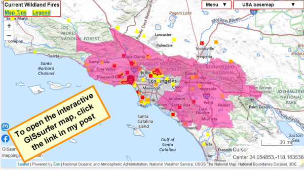
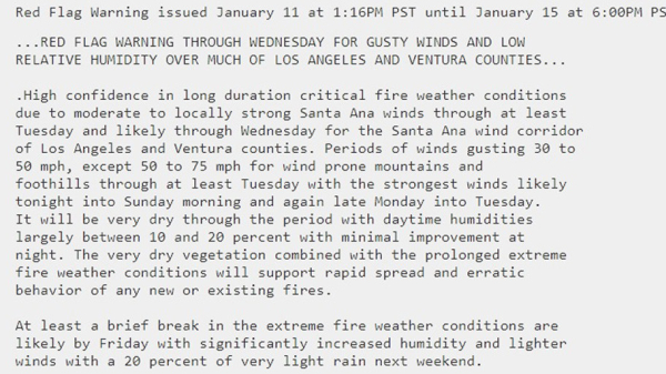
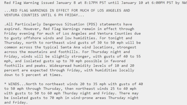
#RedFlagWarning now includes #PalisadesFire.
For details from NOAA - including timing - open the map, click a spot in the red area. Scroll down in the popup that appears since there might be more than one watch/warning and each one has its own link for the details.
Open GISsurfer map:
https://mappingsupport.com/p2/gissurfer.php?center=34.054853,-118.163538&zoom=8&basemap=USA_basemap&overlay=MODIS_7_day,VIIRS_7_day,Perimeter_FIRIS_intel,Lake_river_stream,Red_flag_warning&data=https://mappingsupport.com/p2/special_maps/disaster/USA_wildland_fire.txt
GISsurfer General Purpose Web Map and GIS Viewer | Surf GIS DATA
GISsurfer lets you surf a nearly endless amount of GIS data. Click a layer in the GIS server's table of contents and that data appears on the map.mappingsupport.com
#RedFlagWarning
#WindAdvisory
#HighWindWatch
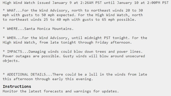
To read details from NOAA, open the map, click colored area, follow the link. Scroll down in the popup since each type of watch or warning has its own link for the details.
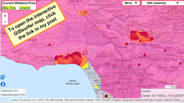
Latest perimeter for the #PalisadesFire shows 17,234 acres burned. Zoom in for details.
The maps has lots of #GIS layers that you can turn on/off/restack.
You can make your own custom map links that show the data you want to see.
You can change the ‘top’ layer that is clickable to see attribute data.
Need help? Open the map and see 2 links upper left corner.
#EatonFire #SunsetFire #Geospatial #GISchat
Open GISsurfer map:
https://mappingsupport.com/p2/gissurfer.php?center=34.114612,-118.428497&zoom=10&basemap=USA_basemap&overlay=MODIS_7_day,VIIRS_7_day,Lake_river_stream,Perimeter_FIRIS_intel,Red_flag_warning&data=https://mappingsupport.com/p2/special_maps/disaster/USA_wildland_fire.txt
GISsurfer General Purpose Web Map and GIS Viewer | Surf GIS DATA
GISsurfer lets you surf a nearly endless amount of GIS data. Click a layer in the GIS server's table of contents and that data appears on the map.mappingsupport.com
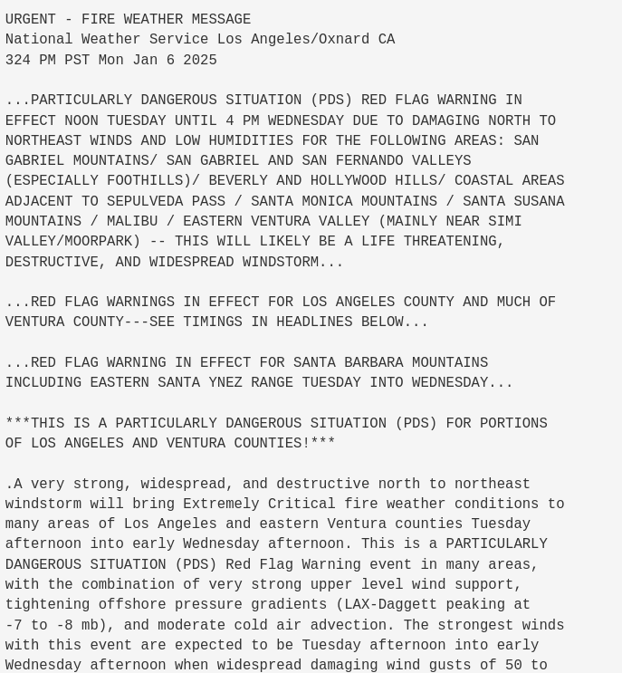
Red Flag Warning was upgraded to PDS Red Flag for Ventura/LA County at 3:24pm #RedFlagWarning #CAwx #FireWx
