Suche
Beiträge, die mit osmand getaggt sind

With both you can navigate as well as edit/add OSM data.
Car drivers also like Magic Earth, which is OSM-based and without trackers, but it's not #FOSS .
#OSM #OSMand #OrganicMaps @Organic Maps
Mir war bisher nur "OsmAnd" sowie "Organic Maps" bekannt in dem Kontext. Letzteres benutze ich beständig um meine täglichen Spaziergänge ordentlich zu verfolgen, was sehr gut sowie genau funktioniert. 😁
#OrganicMaps #OsmAnd #OpenStreetMap
@roblen
#OrganicMaps #OsmAnd

Geo Share | F-Droid - Free and Open Source Android App Repository
Open Google Maps in other map apps and create geo: linksf-droid.org
Statt Google Maps nutze OpenStreetMap. Es gibt zahlreiche Websites und Apps, die auf den Daten dieses Communityprojekts basieren: Einfache, trackingfreie Apps sind MagicEarth und Organic Maps. Anspruchsvolle nehmen gerne OsmAnd. GraphHopper bietet schnelle Routenberechnung. BRouter-Web ist ideal zum Planen von Freizeitaktivitäten mit vielen Einstellungsmöglichkeiten.
#OpenStreetMap #MagicEarth #OrganicMaps #OsmAnd #BRouter #MapsAlternative #datenschutz #privacy

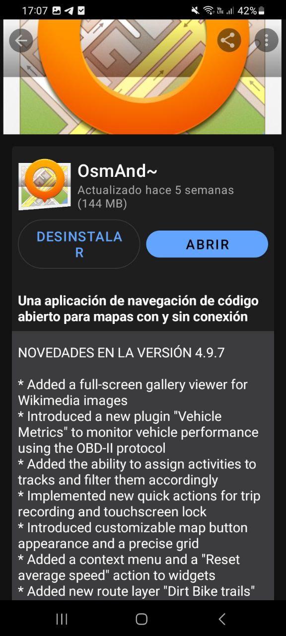
An #OpenSource #Navigation app for #Android using #OpenStreetMap data.
Pretty cool, minimalist but the routing is very fast, it has multiple routing profiles including special ones like bike with terrain, hiking etc.
And it supports some cool map styles!
Navigation is experimental, but the #gpx Track can also be used in #OSMAnd
#FOSS #OSMAndMaps


#OpenStreetMap
#thunderbird
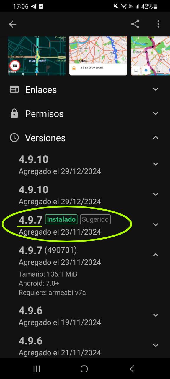
#osmand
#internetarchive
#wikipedia
The last 2 are not Free & Libre Open Source Software, but they are for the #OpenCommons and that's close enough for me. We can argue the finer points if you like : )