Suche
Beiträge, die mit Navigation getaggt sind
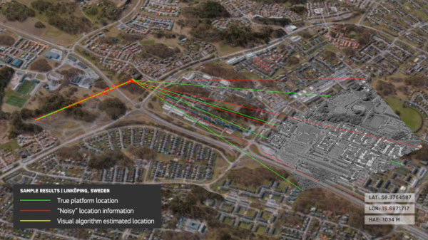
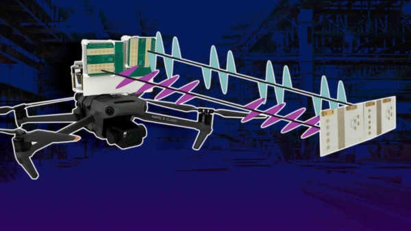
Maxar Intelligence nutzt Bilddaten der Bordkamera einer Drohne und gleicht sie mit 3D-Geländedaten für eine Positionsbestimmung ab. GPS wird nicht benötigt.
https://www.heise.de/news/Ohne-GPS-Maxar-nutzt-visuelles-Navigationssystem-fuer-militaerische-Drohnen-10331854.html?wt_mc=sm.red.ho.mastodon.mastodon.md_beitraege.md_beitraege&utm_source=mastodon
#Drohnen #Navigation #Wirtschaft #Wissen #news
Zum Artikel: https://heise.de/-10328220?wt_mc=sm.red.ho.mastodon.mastodon.md_beitraege.md_beitraege&utm_source=mastodon
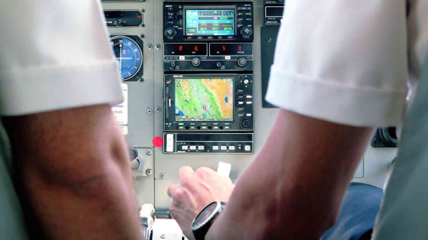
#navigation #rmode #ostsee #satellitenunabhängig #dlr
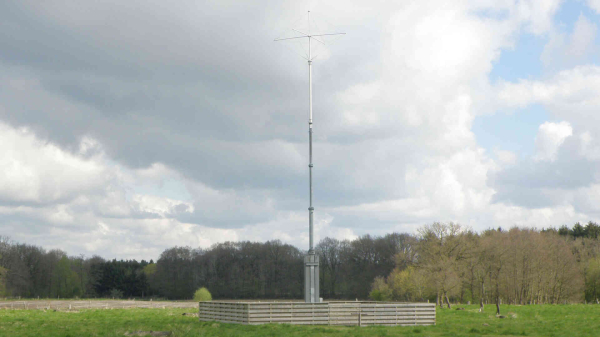
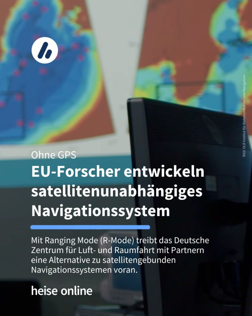
Ohne GPS: EU-Forscher entwickeln satellitenunabhängiges Navigationssystem
Mit Ranging Mode (R-Mode) treibt das Deutsche Zentrum für Luft- und Raumfahrt mit Partnern eine Alternative zu satellitengebunden Navigationssystemen voran.Stefan Krempl (heise online)
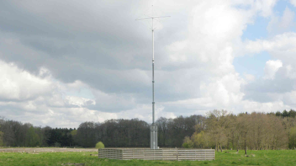
Ist es übertrieben, anzunehmen, dass auch für die #Kommunikation terrestrische Systeme wieder ein „Come-Back“ feiern können? Das #DRK sollte jedenfalls sein Kurzwellenfunknetz keinesfalls aufgeben! #HFNet #Kurzwelle @drk @bevoelkerungsschutz #KRITIS
Mit Ranging Mode (R-Mode) treibt das Deutsche Zentrum für Luft- und Raumfahrt mit Partnern eine Alternative zu satellitengebunden Navigationssystemen voran.
https://www.heise.de/news/Ohne-GPS-EU-Forscher-entwickeln-satellitenunabhaengiges-Navigationssystem-10328220.html?wt_mc=sm.red.ho.mastodon.mastodon.md_beitraege.md_beitraege&utm_source=mastodon
#GPS #IT #Navigation #Verkehr #news
Thema: Werkzeuge zur Orientierung im #Krisenfall
✅ Hinweiskarte #Starkregen|gefahren
✅ GEPOS, unser neuer Satellitenpositionierungsdienst
Infos 👉https://www.bkg.bund.de/DE/Mediacenter/Presse/presse.html
#Krisenfall #Starkregen #Navigation
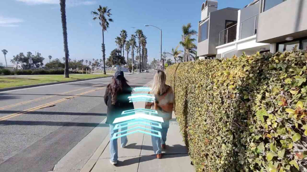
Snap bietet mit den Spectacles eine Augmented-Reality-Brille an. Nun kann man sich mit dem Stand-alone-Gerät den Weg weisen lassen.
https://www.heise.de/news/Snaps-Spectacles-Mit-AR-durch-die-Strassen-ziehen-10318971.html?wt_mc=sm.red.ho.mastodon.mastodon.md_beitraege.md_beitraege&utm_source=mastodon
#AugmentedReality #Navigation #Snapchat #news
Wenn man im Webshop ein Gerät kauft, muss der Verkäufer im Falle eines Mangels nachbessern oder nachliefern. Die Firma TomTom geht stattdessen auf Tauchstation.
https://www.heise.de/ratgeber/Vorsicht-Kunde-Wie-TomTom-sich-vor-Gewaehrleistungen-drueckt-10270630.html?wt_mc=sm.red.ho.mastodon.mastodon.md_beitraege.md_beitraege&utm_source=mastodon
#Hardware #Navigation #Recht #TOMTOM #Wissen #news
Die Schuler-Periode war wichtig für die Erfindung des Kreiselkompasses: An der Entwicklung des Schiffs-Navigationsinstruments wirkte sogar Albert Einstein mit.
https://www.heise.de/hintergrund/Zahlen-bitte-Kuerzester-Erdumlauf-in-84-Minuten-der-Schuler-Periode-10311584.html?wt_mc=sm.red.ho.mastodon.mastodon.md_beitraege.md_beitraege&utm_source=mastodon
#Navigation #Zahlenbitte #news
Roboter sollen nicht mit Menschen zusammenstoßen, wenn sie sich in Menschenmengen bewegen. Dazu muss sich der Roboter abschauen, wie es Menschen machen.
https://www.heise.de/news/TUM-Roboter-bewegt-sich-sicher-durch-Menschenmengen-10311795.html?wt_mc=sm.red.ho.mastodon.mastodon.md_beitraege.md_beitraege&utm_source=mastodon
#autonomesFahren #Navigation #Roboter #news
Starship mit Kontrollverlust + Teilerfolg für Mondlander Athena + Papierverzicht bei Ryanair erst später + Suche nach GPS-Alternativen + Datenschutz-Podcast
https://www.heise.de/news/Freitag-SpaceX-Riesenrakete-erneut-verloren-Athena-mit-schiefer-Mondlandung-10307519.html?wt_mc=sm.red.ho.mastodon.mastodon.md_beitraege.md_beitraege&utm_source=mastodon
#Apps #Datenschutz #Digitalisierung #GPS #hoDaily #Mondlandung #NASA #Navigation #SpaceX #Verschlüsselung #news
Der US-Telecomregulierer sucht schlaue Ideen für Ergänzungen oder Alternativen zum Ortungssystem GPS. Dieses ist nicht hinreichend zuverlässig.
https://www.heise.de/news/USA-suchen-Alternative-zu-GPS-10307469.html?wt_mc=sm.red.ho.mastodon.mastodon.md_beitraege.md_beitraege&utm_source=mastodon
#FCC #Forschung #GPS #KRITIS #Navigation #Netze #news
Das Drohnen-Indoor-Navigationssystem MiFly des MIT arbeitet mit reflektierten Radarwellen. Die Positionsbestimmung in Innenräumen ist so auf 7 cm genau möglich.
https://www.heise.de/news/MIT-entwickelt-Indoor-Navigation-fuer-Drohnen-10280710.html?wt_mc=sm.red.ho.mastodon.mastodon.md_beitraege.md_beitraege&utm_source=mastodon
#Drohnen #Navigation #MIT #news
Keine Reise ohne Planung in Google Maps. Wege, Essen, Richtungen und Zwischenstopps – ich nutze fast alles, gesteht Eva-Maria Weiß.
https://www.heise.de/meinung/20-Jahre-Google-Maps-Bequemlichkeit-schlaegt-Gewissen-10270303.html?wt_mc=sm.red.ho.mastodon.mastodon.md_beitraege.md_beitraege&utm_source=mastodon
#Google #GoogleMaps #Jubiläum #Kartendienste #Navigation #news
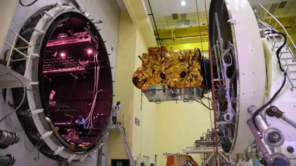
Indien hat Satelliten für sein Satellitennavigationssystem ins All gestartet. Der zweite hat nach einem Triebwerksproblem den vorgesehenen Orbit nicht erreicht.
https://www.heise.de/news/Triebwerksproblem-Indischer-Satellit-erreicht-vorgesehen-Orbit-nicht-10272823.html?wt_mc=sm.red.ho.mastodon.mastodon.md_beitraege.md_beitraege&utm_source=mastodon
#Raumfahrt #Satellit #Navigation #news
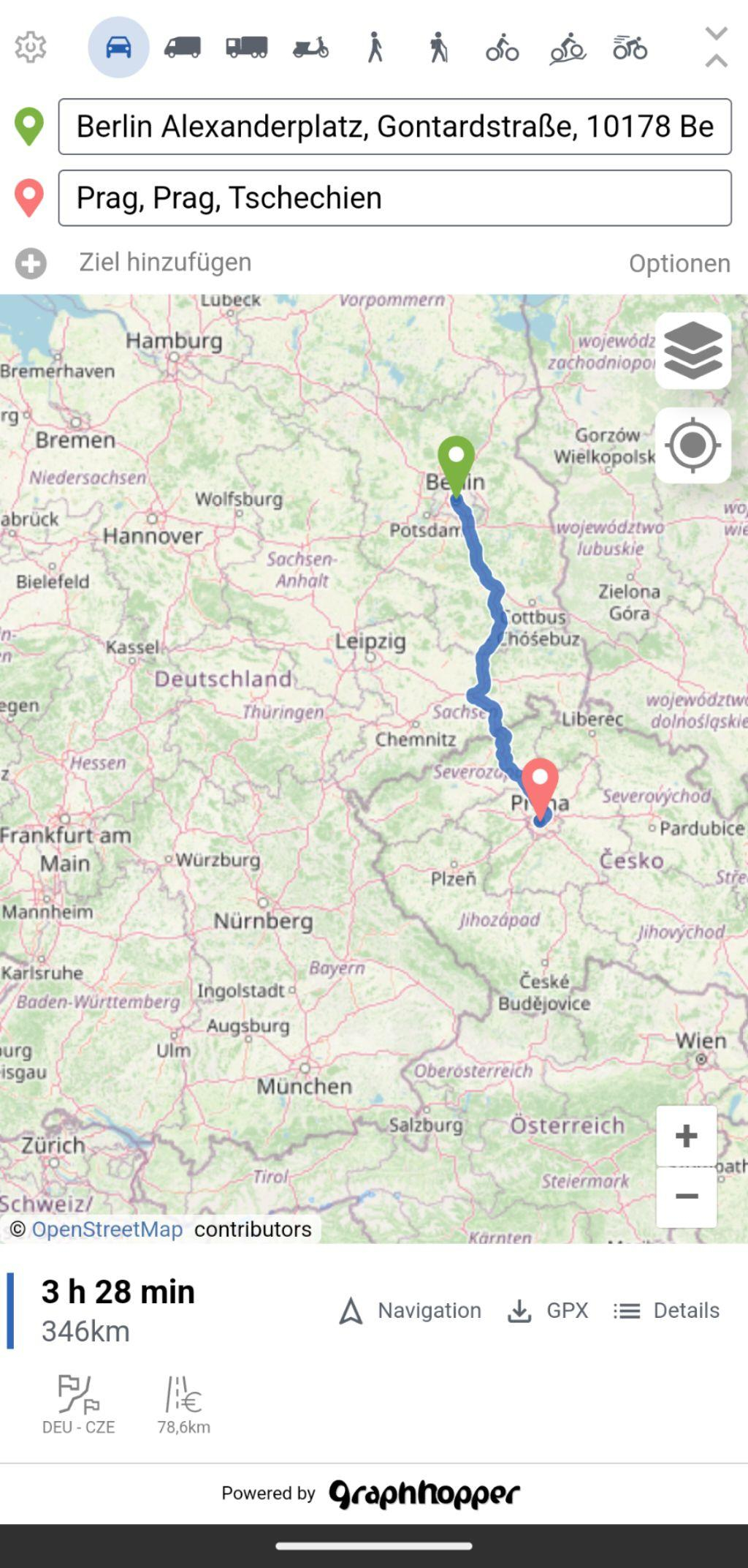
An #OpenSource #Navigation app for #Android using #OpenStreetMap data.
Pretty cool, minimalist but the routing is very fast, it has multiple routing profiles including special ones like bike with terrain, hiking etc.
And it supports some cool map styles!
Navigation is experimental, but the #gpx Track can also be used in #OSMAnd
#FOSS #OSMAndMaps
Nicht, dass ich die neueste Version unbedingt brauchen würde, aber wer weiß schon, wohin mich mein Fahrrad führen wird 😉
🔗 https://www.openfietsmap.nl/downloads/germany
#Rad #Fahrrad #Bike #Radtour #Navigation #Navi
Been using & experimenting with some & I think you might want to find some too.
Apps: https://european-alternatives.eu/category/navigation-apps
https://www.cnbc.com/amp/2025/01/27/google-maps-to-show-gulf-of-america-after-government-updates.html
cc @european_alternatives
#maps #navigation #google #infosec #USpol #location #DataEthics

Intelligent and Green: Highlights from ApexTire 2024 Annual Awards
Discover how ApexTire 2024 is transforming the tire industry with intelligent innovation and green initiatives, promoting sustainability and cross-sector collaboration.China Business Forum
