Suche
Beiträge, die mit Openstreetmap getaggt sind
Bin gespannt auf Feedback!
Karte | fahrrad.dev
Deine Stadt, Dein Dorf - Deine Fahrradkarte. Finde Radrouten, Radwege, Fahrradparkplätze, Reparaturstationen und mehr in deiner Nähe. Komme einfach schnell von A nach B im Alltag.fahrrad.dev
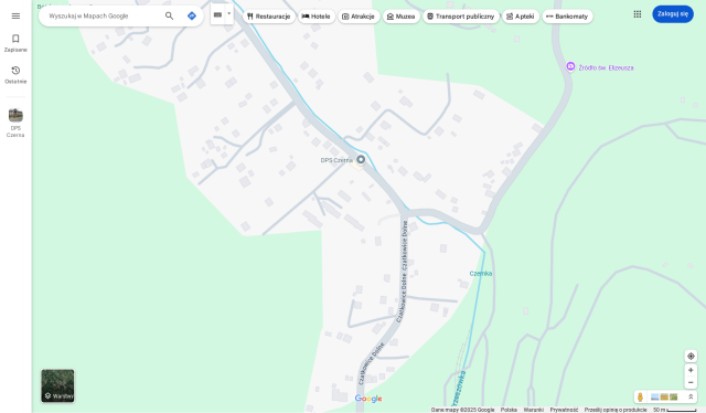
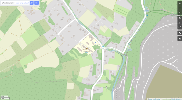
#map #oepnstreet #openstreetmap #karte #gpogle #googlemaps
Mir war bisher nur "OsmAnd" sowie "Organic Maps" bekannt in dem Kontext. Letzteres benutze ich beständig um meine täglichen Spaziergänge ordentlich zu verfolgen, was sehr gut sowie genau funktioniert. 😁
#OrganicMaps #OsmAnd #OpenStreetMap
@roblen
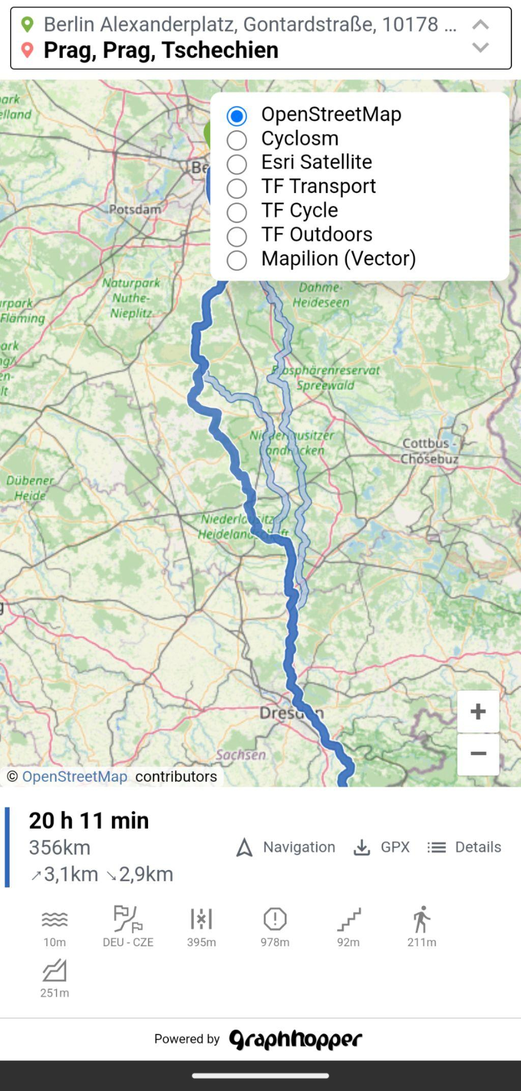
Statt Google Maps nutze OpenStreetMap. Es gibt zahlreiche Websites und Apps, die auf den Daten dieses Communityprojekts basieren: Einfache, trackingfreie Apps sind MagicEarth und Organic Maps. Anspruchsvolle nehmen gerne OsmAnd. GraphHopper bietet schnelle Routenberechnung. BRouter-Web ist ideal zum Planen von Freizeitaktivitäten mit vielen Einstellungsmöglichkeiten.
#OpenStreetMap #MagicEarth #OrganicMaps #OsmAnd #BRouter #MapsAlternative #datenschutz #privacy
I have to ask astupid question: Are there actually OSM maps with longitude and latitude grids?
#OpenStreetMap
📣 Ich bin heute von meinem altehrwürdigen Mastodon-Account @caos@metalhead.club auf diesen Account nach #Sharkey umgezogen. Bin also mehr nicht ganz #NeuHier im #Fediverse .
Mit diesem Account hier geht es dann auch weiter u.a. um
- 🎸 #Musik (#Punk #Rock #Metal #Indie #Darkwave)
- Regionales: #Köln #Wuppertal 🚟 #NRW
- #Sport #Tischtennis 🏓
- #Verkehrswende #ÖPNV 🚋
- #Umfragen 📊
Weiterhin gibt es noch caos auf #Friendica mit @caos@anonsys.net :
Schwerpunkte dort sind u.a. #FOSS #Datenschutz #Fediverse #Linux #OpenStreetMap #CustomROM #DeGoogle #FDroid
Schaut bei Interesse gerne auch in die Gruppen und Foren im Fediverse, die ich moderiere:
🎸 Forum "Rockdisco Exit" #Solingen: @exit_revival@anonsys.net #Umfragen #AskExit #90sMusic: @AskExit_Rockdisco@mk.absturztau.be
🚟 Wuppertal-Community: @wuppertal@feddit.org
❤ 🤍 Köln-Gruppe: @koeln@anonsys.net
🏓 Tischtennis-Community: @tischtennis@feddit.org
🟢 FOSS-Community: @foss_de@feddit.org
🔐 Datenschutz-Community: @datenschutz@feddit.org


🚨 Ich ZIEHE heute UM mit diesem Account nach #Sharkey 🦈 zu plasmatrap.com mit 👉 @caos@plasmatrap.com
Dort geht es dann auch u.a. um 🎸 #Musik (#Punk #Rock #Metal #Indie #Darkwave) + #Köln #Wuppertal 🚟 #NRW + #Sport #Tischtennis 🏓 + #Verkehrswende #ÖPNV 🚋
Weiter gibt es caos auf #Friendica mit @caos@anonsys.net :
Schwerpunkte dort sind u.a. #FOSS #Datenschutz #Fediverse #Linux #OpenStreetMap #CustomROM #DeGoogle #FDroid
🙏 vielen Dank an @thomas !! Die metalhead-Instanz ist top 👍 , nur für mich passt Mastodon nicht so richtig gut. Rock on 🤘
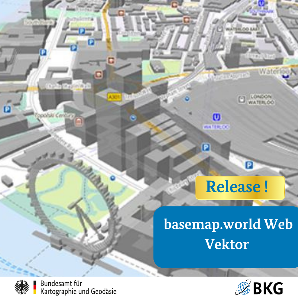
Der #BKG weltweite Vektorkacheldienst erhielt im Januar 2025 aktualisierte OpenStreetMap-Daten. Innerhalb Deutschlands bleibt der Datenstand identisch zur basemap.de Web Vektor, die monatlich aktualisiert wird.
Nächste Aktualisierung der internationalen Daten: Anfang Juli 2025!
Mehr Infos gibt’s hier: https://basemap.de/produkte-und-dienste/web-vektor-world/
#basemapWorld #Geodaten #WebVektor #Kartographie #OpenStreetMap
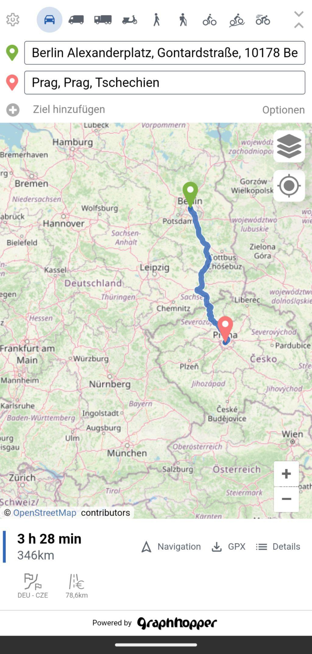
An #OpenSource #Navigation app for #Android using #OpenStreetMap data.
Pretty cool, minimalist but the routing is very fast, it has multiple routing profiles including special ones like bike with terrain, hiking etc.
And it supports some cool map styles!
Navigation is experimental, but the #gpx Track can also be used in #OSMAnd
#FOSS #OSMAndMaps
I'm #danish and speak #german and #english as well. If anyon has tips for mastodon, please shoot them at me.
#introduction
Google Maps: Aus dem ‚Golf von Mexiko‘ wird der ‚Gulf of America‘ – Google wird das Trump-Dekret umsetzen - GoogleWatchBlog (Jens) https://www.googlewatchblog.de/2025/01/google-maps-aus-dem-golf-von-mexiko-wird-der-gulf-of-america-google-wird-das-trump-dekret-umsetzen/
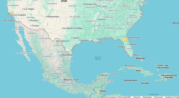
Google Maps: Aus dem 'Golf von Mexiko' wird der 'Gulf of America' - Google wird das Trump-Dekret umsetzen
Das ist nicht ganz überraschend, aber wird dennoch diskutiert: Google Maps wird den Golf von Mexiko in Golf von Amerika umbenennen.Jens (GoogleWatchBlog)
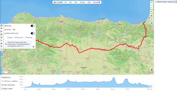
#gpxstudio #cycling
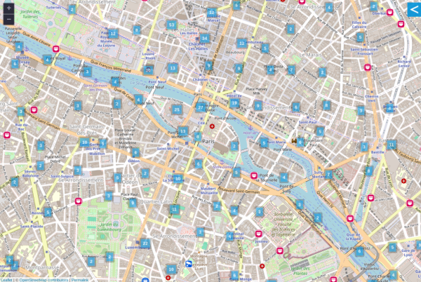
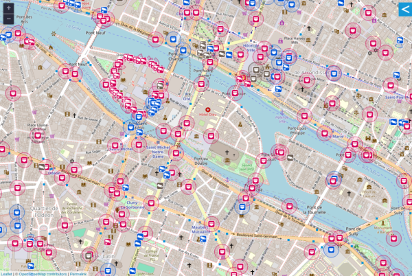
Zumindest rund um meine Lieblings Ladesäulen.
Naja was tun in den 20 Minuten, in denen die Karre Lädt?
Mappen!
Was ich schon an Hydranten, Laternen und Bäume eingetragen habe...
Demnächst noch Parkplätze, Straßenschilder, die ganzen Firmen etc...
#OpenStreetMap
#thunderbird
#osmand
#internetarchive
#wikipedia
The last 2 are not Free & Libre Open Source Software, but they are for the #OpenCommons and that's close enough for me. We can argue the finer points if you like : )
Audio guide when to turn, take highway exit, etc..
#openstreetmap
#degoogle
#mapstodon #mapping #openstreetmap
Also: Routen bewerten, eintragen, kommentieren, kopieren wären tolle Funktionen.
Mit Organic Maps konnte ich zumindest "Tracks aufzeichen", was ich schon sehr cool fand'.
#komoot #Wandern #opensource #maps #gps #trekking #hiking #organicMaps #osm #openstreetmap
This is my first video about it https://youtu.be/zWrDM1fZEnU?si=2W-XhIMkUKMfHux1
Bringing OpenStreetMap Data Into Minecraft
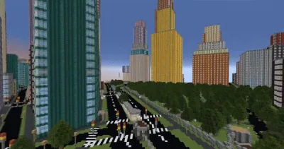
Over the years, dedicated gamers have created incredible recreations of real (and not so real) locations and structures within the confines of Minecraft. Thanks to their efforts, you can explore everything from New York City to Middle Earth and the U.S.S. Enterprise in 1:1: scale.
But what if you wanted to recreate your own town, and didn’t have the hundreds of hours of spare time necessary to do it by hand? Enter Arnis, an open source project from [Louis Erbkamm] that can pull in geographic data from OpenStreetMap and turn it into a highly detailed Minecraft map with just a few keystrokes.
Once generated, the map can be loaded into the Java Edition of Minecraft. This refers to the original build of the game that predates the Microsoft buyout.
Looks like a pretty interesting holiday project!
See https://hackaday.com/2024/12/30/bringing-openstreetmap-data-into-minecraft
#Blog, #gaming, #minecraft, #OpenStreetMap, #technology
🎥 We gathered and amplified 10 community events through the IWD 2024 OSM wikipage, and
-🏆recognized 70 women and 33 communities and projects through the HOT Community WG’s Open Mapping Women Awards 2024.
- 5️⃣ women champions shared their journey, reflections, challenges and hope for the open mapping community: Carrol Chan, Bafamodei Hopeful, Chisom Okwuchi, Rabina Poudyal & Sandra Hernández 🙌
https://www.openstreetmap.org/user/arnalielsewhere/diary/405590
#IWD2024 #OMWA2024 #openstreetmap #womenofOSM

Recap: Celebrating International Women’s Day and Open Mapping Women Awards 2024
The Open Mapping Women Awards 2024 was inspired by the 𝗦𝘁𝗮𝘁𝗲 𝗼𝗳 𝘁𝗵𝗲 𝗠𝗮𝗽 𝗔𝘀𝗶𝗮 𝟮𝟬𝟮𝟯 𝗖𝗼𝗺𝗺𝘂𝗻𝗶𝘁𝘆 𝗔𝘄𝗮𝗿𝗱𝘀 where we recognized community champions across Asia.OpenStreetMap
It took me 8️⃣ months to write about HOT Community Working Group's #InternationalWomensDay 💜 and #OpenMappingWomenAwards 🏆 2024 initiatives. I just need to write it! It's one of my favorite things I get to do with HOT CommunityWG. 😍
I hope that we continue celebrating and recognizing women in our community! ✊
https://www.openstreetmap.org/user/arnalielsewhere/diary/405590
#IWD2024 #OMWA2024 #openstreetmap #womenofOSM

Recap: Celebrating International Women’s Day and Open Mapping Women Awards 2024
The Open Mapping Women Awards 2024 was inspired by the 𝗦𝘁𝗮𝘁𝗲 𝗼𝗳 𝘁𝗵𝗲 𝗠𝗮𝗽 𝗔𝘀𝗶𝗮 𝟮𝟬𝟮𝟯 𝗖𝗼𝗺𝗺𝘂𝗻𝗶𝘁𝘆 𝗔𝘄𝗮𝗿𝗱𝘀 where we recognized community champions across Asia.OpenStreetMap
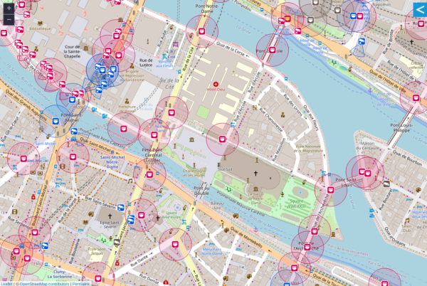
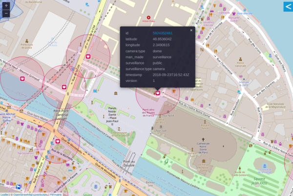
Cameras can be identified by location and type.
The area being observed can be disclosed.
Surveillance under Surveillance/https://sunders.uber.space is an OpenStreetMap instance focused on surveillance cameras, the data used is not visualized on the OpenStreetMap.org instance.
Website: https://www.openstreetmap.org
Mastodon: @openstreetmap
#OpenStreetMap #Surveillance #CCTV #Privacy #FacialRecognition #Tracking #BiometricData #VoicePrint #Gait
OpenStreetMap
OpenStreetMap is a map of the world, created by people like you and free to use under an open license.OpenStreetMap
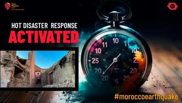
Following the #earthquake in Morocco’s High Atlas mountains, #OpenStreetMap needs your support to help map affected area & aid relief efforts.
No prior experience is required.
- Join the project in HOT's Tasking Manager: https://tasks.hotosm.org/projects/15468
- How to map via MapGive: https://www.youtube.com/watch?v=Ir-3K0pjwOI
- Learn OSM: https://learnosm.org/en/
- Slack https://slack.hotosm.org/
#MoroccoEarthquake #SeismeMaroc #HumanitarianMapping #OpenMapping #DisasterResponse
Learn How To Map in OpenStreetMap
Step by step tutorial for how to map in OpenStreetMap. This is produced by the U.S. State Department's Humanitarian Information Unit for their MapGive campai...YouTube

